
SCREEN THE LAND. FIND THE SITES THAT CLEAR THE BAR.

Screen a parcel, a shortlist or a whole area against your minimum requirements. DCLR shows what passes, what fails and what needs validation before further due diligence.

One parcelA shortlistAn entire area
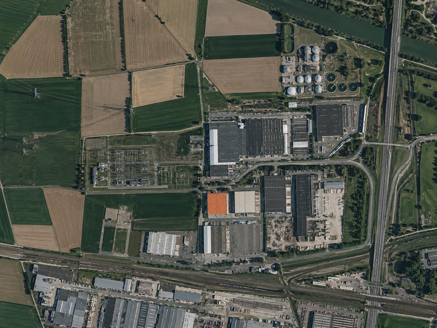
Satellite view of a potential data centre location
52.2461° N   5.4322° E
Screening outcome · NL–047Amersfoort East
Meets baseline
Requirement status6 pass · 2 review

No known critical blocker · Next step: targeted due diligence

PowerPASS
WaterREVIEW
PlanningPASS
Illustrative example

AVAILABLE LAND IS NOT THE SAME AS A VIABLE SITE.

A parcel can look promising and still fail on power, fibre, water, access, planning or environmental constraints. DCLR brings those early signals together before detailed due diligence begins.

THE COSTLY QUESTIONWhat could rule this site out later?
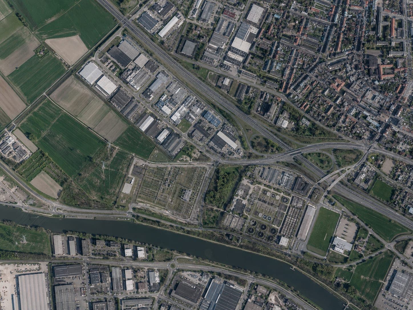
Satellite view showing infrastructure constraints around industrial land
Grid capacity
Fibre diversity
Water exposure
Site access

SET THE REQUIREMENTS. SCREEN THE LAND. SEE WHAT CLEARS THE BAR.

Every candidate is assessed against the same configured criteria, so the shortlist is consistent, comparable and explainable.

01

Define requirements

Set the geography, capacity, timing and non-negotiable constraints.

02

Run signal tests

Assess an area, parcel set or shortlist across the relevant data layers.

03

Compare results

See what passes, what fails and where evidence is incomplete.

04

Decide the next step

Advance, hold or rule out each candidate before further due diligence.

DCLR
NL–047 · Amersfoort East
Report Export
New siteAR
Amersfoort East86.2
NL–047 · 42 ha · up to 120 MWShortlisted · DD0 ready
Domain scores
86.2Overall
Power92Connectivity88Access83Land81Risk77Water74Planning69

Two domains on watch — Planning and Water flagged for validation.

Active constraints
  • Grid proximity 1.8 km — within threshold
  • 3 diverse fibre routes confirmed
  • Water pathway — requires validation
  • Planning capacity — under review
Open DD0 assessment

MULTIPLE SIGNAL TESTS. ONE CLEAR NEXT STEP.

DCLR tests the infrastructure, land and risk conditions that can qualify, delay or rule out a site—then shows which result needs attention next.

01

Power

PASS

Credible path to ≥100 MW

120 MW identified

3 sources · Q2 2026
02

Fibre / connectivity

PASS

Diverse routes within 5 km

3 routes confirmed

2 sources · Q1 2026
03

Water

REVIEW

Cooling pathway available

Moderate stress index

2 sources · Q3 2025
04

Planning

PASS

Industrial zoning confirmed

Bedrijventerrein — permitted

1 source · Q4 2025
05

Environment

PASS

No protected areas within 5 km

Nearest Natura 2000: 6.8 km

2 sources · Q1 2026
06

Access / transport

PASS

Motorway access within 3 km

A1 junction 1.5 km south

1 source · Q2 2026
07

Land

PASS

≥30 ha, single ownership

42 ha, single parcel

1 source · Q4 2025
08

Community

PASS

Population ≥50k within 30 km

Amersfoort 158k, Utrecht 360k

1 source · 2025

START DUE DILIGENCE WITH THE RIGHT SITES—AND THE RIGHT QUESTIONS.

DCLR does not replace technical due diligence. It helps it begin on the strongest candidates, with known risks, evidence and open questions already structured.

01
Stage 1

Market or area screen

Screen a defined geography against infrastructure, land and risk requirements.

OutputOpportunity map
02
Stage 2

Parcel qualification

Test each candidate against the same configured criteria and expose pass, review or fail.

OutputPass / review / fail results
03
Stage 3

Candidate comparison

Compare surviving candidates on a common basis with evidence behind every position.

OutputQualified shortlist
04
Stage 4

Further due diligence handoff

Carry evidence, assumptions and validation priorities into the next stage of work.

OutputEvidence, assumptions & validation priorities

START WITH AN AREA, A SHORTLIST OR A SINGLE PARCEL.

01 Area search

Find where the requirements align.

Screen a defined geography against infrastructure, land and risk requirements.

OutputOpportunity map
02 Candidate shortlist

Compare every option on the same basis.

Test a supplied set of parcels consistently and expose the reason behind each position.

OutputQualified, comparable shortlist
03 Single parcel

Know whether one site deserves the next investment.

Test an offered parcel against the minimum requirements and identify the questions still to answer.

OutputPass / review / fail screen

A CLEAR RESULT—AND THE EVIDENCE BEHIND IT.

Every result shows what meets the requirement, what does not, what remains unknown and what should be validated next. Sources, dates and assumptions stay connected to each finding.

DCLRDD0 ASSESSMENT
1 / 11
DCLRCONFIDENTIAL
SITE DUE DILIGENCE 0 — DD0

Findings for Amersfoort East, Netherlands

Industrieweg 47, 3812 KS Amersfoort, Netherlands

52.2461° N 5.4322° E
DCLR–2026–0472026/08/15Rev 142 ha · up to 120 MW
01

Executive Summary

86/100Overall site suitability

Amersfoort East presents a strong infrastructure profile with excellent grid proximity and fibre diversity. Water pathway and planning capacity are the two domains flagged for validation before proceeding to DD1.

Positive findings

  • Grid proximity 1.8 km — within connection threshold
  • Three diverse fibre routes confirmed
  • Low flooding and seismic exposure
  • Clear land boundary, 42 ha available

Constraints

  • Water pathway requires validation at DD1
  • Planning capacity under municipal review
  • Diverse power routing limited to two corridors
Site overviewSite overview — Amersfoort East
02

Site Suitability Score Card

C1Land Area5
C2Shape of Land & Test Fit4
C3Land Boundaries5
C4Elevation5
C5Protected Areas5
C6Distance to Town4
C7Population4
C8Transport Hub5
C9Flooding Risk4
C10Seismic Risk5
C11Proximity to Water3
C12Wastewater4
C13Power Size Potential5
C14Proximity to Power5
C15Diverse Routing3
C16Gas Size4
C17Gas Proximity4
C18ATEX Risk5
C19Renewables3
C20Fibre5
C21Political Analysis4

Low-score analysis

C11 — Proximity to Water3

Issue: Water stress index moderate for the region. Cooling pathway not yet confirmed.

Mitigation: Validate water availability and cooling strategy at DD1.

C15 — Diverse Routing3

Issue: Two power corridors identified; third route requires new trenching.

Mitigation: Assess feasibility and cost of third diverse route at DD1.

C19 — Renewables3

Issue: Nearest solar PV installation 8.2 km away. No on-site renewable potential identified.

Mitigation: Explore PPA options and rooftop solar feasibility at DD1.

03

Land Area, Shape & Test Fit

42 hectares of flat industrial-zoned land. Rectangular parcel suitable for multiple hyperscale halls.

C1. Land Area5
C2. Shape & Test Fit4
  • Area: 42 ha (103.8 acres). Perimeter: approx. 2,840 m.
  • Elevation: 4–6 m above NAP. Flat topography — minimal grading required.
  • Shape: rectangular with clear boundaries. Industrial zoning confirmed.
  • Test fit indicates capacity for 4× 30 MW data halls with mechanical yards.
Site boundary and indicative test fit overlaySite boundary and indicative test fit overlay
04

Land Titles & Elevation

Single ownership parcel. Flat elevation profile with no significant delta.

C3. Land Boundaries5
C4. Elevation5
  • Single parcel under one owner per Kadaster records. No encumbrances identified.
  • Elevation range: 4–6 m above NAP. Delta of only 2 m across the entire site.
  • No existing buildings or structures within the boundary.
  • Soil composition: clay and peat — standard for the region, piling likely required.
Elevation profile and land parcel boundaryElevation profile and land parcel boundary
05

Protected Areas & Planning

No protected areas within 5 km. Municipal zoning supports industrial development.

C5. Protected Areas5
  • Nearest Natura 2000 site: Arkemheen, approx. 6.8 km north.
  • No protected monuments, habitats or waterways within the immediate vicinity.
  • Municipal zoning: Bedrijventerrein (industrial estate) — data centre use permitted.
  • Environmental permit (omgevingsvergunning) will be required for construction.
Next steps

Confirm environmental permit requirements and timeline with Gemeente Amersfoort at DD1.

Protected areas and planning constraint overlayProtected areas and planning constraint overlay
06

Population & Transport

Amersfoort city centre 4.2 km west. A1 motorway access 1.5 km south.

C6. Distance to Town4
C7. Population4
C8. Transport Hub5
  • Amersfoort population: approx. 158,000. Utrecht 18 km west (pop. 360,000).
  • A1 motorway junction 1.5 km south — direct access to Amsterdam and German border.
  • Amersfoort Centraal rail station 5.2 km — major hub connecting Amsterdam, Zwolle and Arnhem.
  • Schiphol Airport 45 km west. Lelystad Airport 28 km north (cargo-focused).
07

Water & Wastewater

Regional water board manages supply. Wastewater treatment 3.2 km north.

C11. Water Proximity3
C12. Wastewater4
  • Water supply via Vitens network — industrial allocation subject to availability review.
  • Eem river 3.8 km north — potential non-potable cooling source pending quality assessment.
  • Wastewater treatment: Waterschap Vallei en Veluwe facility 3.2 km north.
  • Water stress index: moderate for Utrecht province. DD1 must validate cooling pathway.
Next steps

Engage Vitens and Waterschap Vallei en Veluwe to confirm industrial water allocation at DD1.

Water infrastructure and catchment overlayWater infrastructure and catchment overlay
08

Power & Transmission

TenneT 380 kV substation 1.8 km west. Grid connection capacity under review.

C13. Power Size5
C14. Power Proximity5
C15. Diverse Routing3
  • TenneT 380 kV substation Amersfoort: 1.8 km west — primary connection point.
  • Liander 110 kV distribution network available for auxiliary loads.
  • Two diverse cable corridors identified along Industrieweg and A1 corridor.
  • Third diverse route would require new trenching — estimated 4.2 km additional.
Power infrastructure and grid proximity overlayPower infrastructure and grid proximity overlay
09

Gas, ATEX, Renewables, Fibre & Political

Gas network available. Three fibre routes confirmed. Low ATEX exposure.

C16. Gas Size4
C17. Gas Proximity4
C18. ATEX Risk5
C19. Renewables3
C20. Fibre5
C21. Political4
  • Gasunie H-gas transmission pipeline 2.1 km south — backup generation viable.
  • Three diverse fibre routes: KPN, Eurofiber and T-Mobile backbone within 1.2 km.
  • ATEX: nearest COMAH site 9.4 km west. Petrol stations within 2 km — standard risk.
  • Nearest solar PV: 8.2 km. No on-site renewable potential. PPA options available.
  • Netherlands ranks highly for political stability and data centre-friendly policy.
10

Evidence Sources & Methodology

TenneT grid capacity mapsKPN / Eurofiber fibre registryRijkswaterstaat flood dataKadaster land registryGemeente Amersfoort zoning planWaterschap Vallei en Veluwe dataVitens water allocation recordsGasunie transmission mapsCBS population statisticsRijkswaterstaat transport mapsNatura 2000 protected areasCOMAH / ATEX risk registers

Assessment methodology

Each candidate is evaluated against a transparent scoring model shaped around market, capacity and risk priorities. Scores are weighted for likely critical impact on data centre development. The DD0 assessment represents a high-level review based solely on publicly available and open-source data.

A Site Due Diligence (DD1) study will be required to assess the site's suitability with greater accuracy and detail.

Constraint analysisInfrastructure constraint analysis
Scroll to explore
Decision signalPromising power and connectivity profile. Validate water pathway and planning capacity.

START WITH ONE LIVE BRIEF. LEAVE WITH A REUSABLE SCREENING MODEL.

Configure DCLR around a real geography, parcel set or project brief. Review the screening results with the team, then reuse the criteria and workflow across future opportunities.

INPUT

Your requirements

Geography, capacity, timing, non-negotiable constraints and risk appetite.

DCLR

Screening model

OUTPUT

Ranked results + evidence-linked DD0

A qualified shortlist, evidence-linked first assessment and a reusable workflow.

Configured minimum requirements Screened area, portfolio or parcel set Comparable candidate outcomes Evidence-linked first assessment Reusable workflow

WHAT DCLR DOES—AND WHAT IT DOESN’T.

Clear answers to the questions that matter before you commit time or capital.

Does DCLR replace due diligence?

No. DCLR is an early screening and qualification layer. It helps decide which sites merit further technical, legal and commercial due diligence and what that work should investigate first.

What can be screened?

A whole area, a defined set of candidate parcels or a single offered site.

Can the minimum requirements be configured?

Yes. Criteria, thresholds and priorities can be shaped around the market, capacity need, project brief and risk appetite.

What happens when the evidence is incomplete?

DCLR marks the result as unknown or requiring validation. Missing evidence should never be treated as a pass.

Can internal or client data be included?

Yes, where supplied data is compatible with the screening model. Its source and date should remain visible in the result.

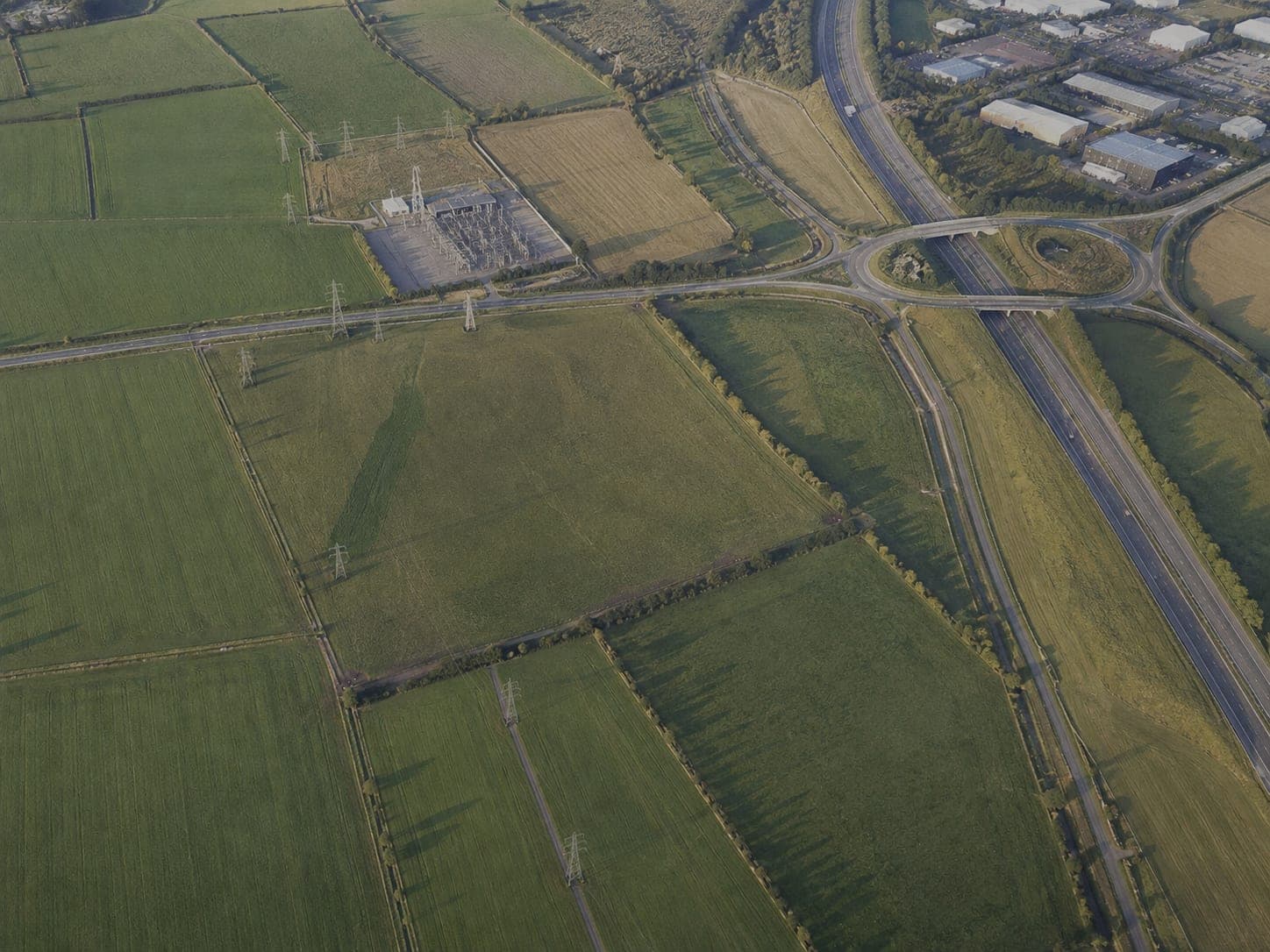
Satellite view of land with data centre development potential
DCLRDATA CENTER LOCATION RESEARCH

BRING A MARKET, A SHORTLIST OR A PARCEL. SEE WHAT CLEARS THE BAR.

We will configure the minimum requirements around a live opportunity and walk through the passes, blockers, unknowns, evidence and next validation actions.

Request a private screening

DCLR supports professional judgement and further due diligence; it does not replace them.